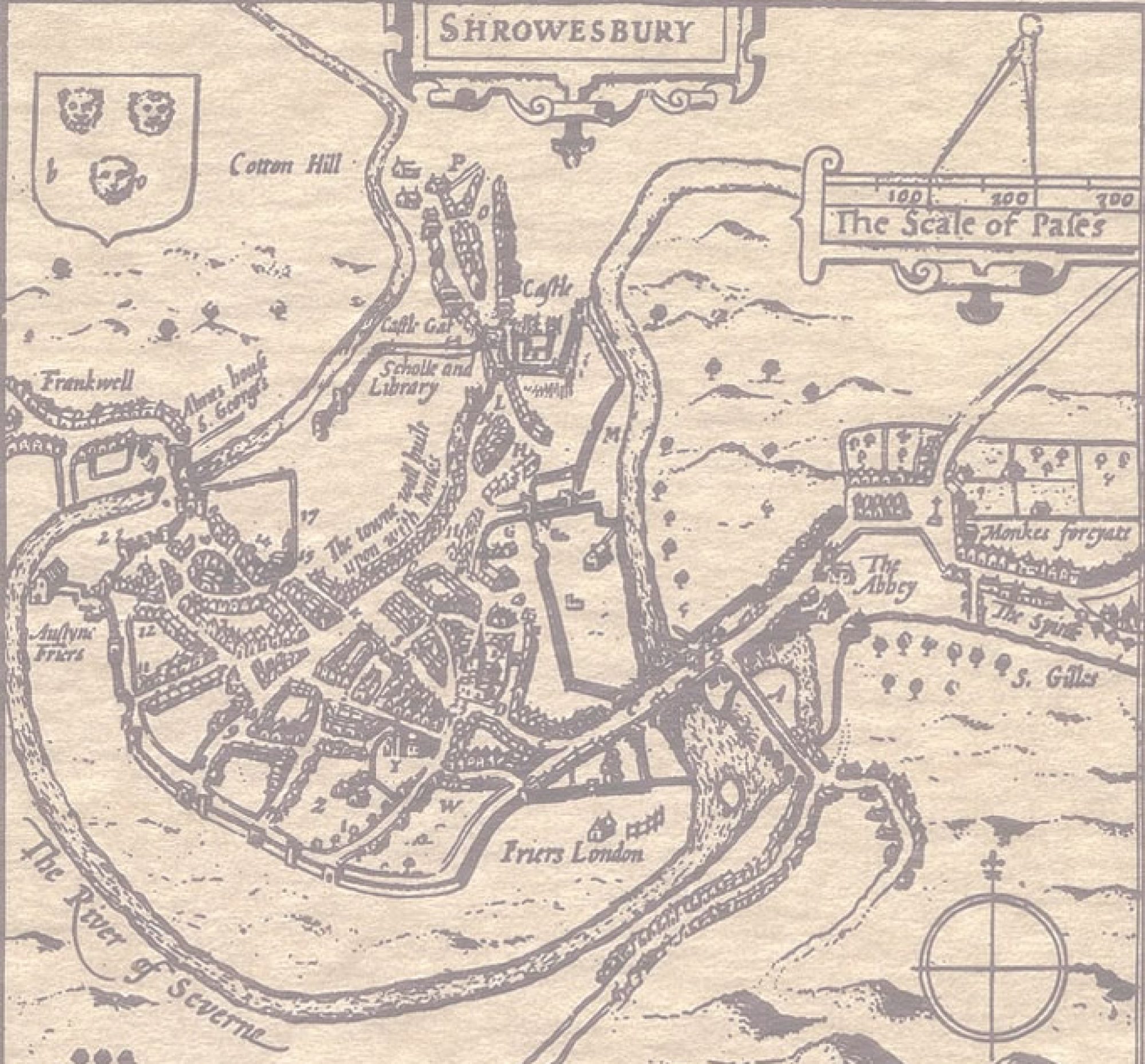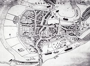
Shrewsbury’s Town Walls road needs no introduction – the road runs alongside what is clearly an ancient wall, with an interesting tower in one place. Unlike cities such as Chester and York, however, the rest of the walls are not obvious. There are, though, more of them left than immediately meets the eye.
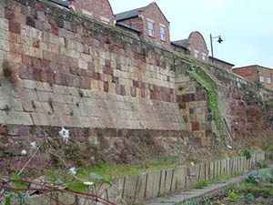
It is highly likely that Saxon Shrewsbury was fortified in some way, but no remains of that date have yet been found. [footnote 1] Shrewsbury Castle was built soon after the Norman Conquest, and for the next 150 years or so it is likely that the town relied for defence on the Castle, the security of its bridges, and its elevated position. However, perhaps prompted by the ongoing disputes with the Welsh, in 1218 King Henry III ordered that a proper defensive wall be constructed. This work to create a circuit of walls around the town was undertaken between about 1220 and 1242, despite Llewellyn the Great burning the town in 1234. [footnote 2] Later in that century the so-called New Work was also built. It consisted of a length of wall with towers at either end, situated along the river near the Welsh Bridge where Victoria Avenue is now. Its purpose seems to have been to guard a ford from Frankwell.
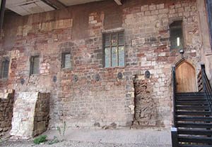
Strengthening and repairing the walls continued over the succeeding centuries, usually paid for by taxes called murage, and it is likely that the surviving tower on town walls (Wingfield’s Tower) dates from the time of Henry IV, around 1400. [footnote 3] The defences were further strengthened at the time of the English Civil War, a new section of wall being built along what is now Smithfield Road after the town was captured by the Parliamentary forces in 1645. After the Second Jacobite Rebellion in 1745, the walls gradually decayed. This had actually begun in later Mediaeval times, with the building of houses against the wall on what is now Pride Hill.
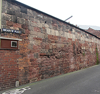
The Burghley map, dating from around 1575, clearly shows the position of the town wall. This mostly follows the contours of the outcrop on which Shrewsbury is built, with small exits, or lodes, on the south and east sides. The only stretch that doesn’t follow the contour is a short extra section along the river from the Castle towards the Welsh Bridge. Part of this section of the wall ran along what is now Meadow Place, where it is possible to see remains of it still standing. Another survival of the town wall is the lower floor of McDonald’s, which can be seen from the pay and display car park on Raven Meadows. An interesting reminder of the New Work is a circle of stone setts in the tarmac, which mark the place where one of the towers used to be.
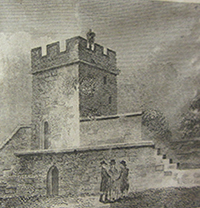
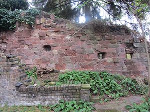
When viewed from the river, the surviving section of the wall shows a number of layers corresponding to various stages of rebuilding and repair. Wingfield’s Tower next to the High School is now owned by the National Trust and is open to visitors three or four weekends in the summer. Nearer the English Bridge the wall disappears underground, but a good surviving section remains in the garden of the Illuminate Bookshop, 18 Wyle Cop, as the wall ascends the hill before turning back along the edge of the slope towards the Castle. This part of the wall is particularly interesting in that it has three ‘loopholes’ made at the time of the Civil War to allow defenders to fire along the outside of the wall towards the Castle.
Footnotes
[1] Radford CAR, The Mediaeval defences of Shrewsbury, Trans Shrops Arch Hist Soc, Vol. 56, 1957/60, p.15ff
[2] Ibid and Hannaford HR, Shrewsbury Town Walls, a Conservation Management Plan, Shropshire Council Archaeology Service, 2015, p.5ff
